About Brandywine Falls

Brandywine Falls was one of the major waterfalls that we encountered while driving the popular Sea to Sky Highway between Vancouver and Whistler, and it was well worth the stop.
This very popular 70m freefalling waterfall possessed a classically tall rectangular shape reminding me of what we saw at Tews Falls (in Hamilton, Ontario).

The difference with the Brandywine Falls, however, was that it possessed a more forceful drop as Brandywine Creek had a pretty healthy flow during our Summer visit in 2017.
Origins of Brandywine Falls
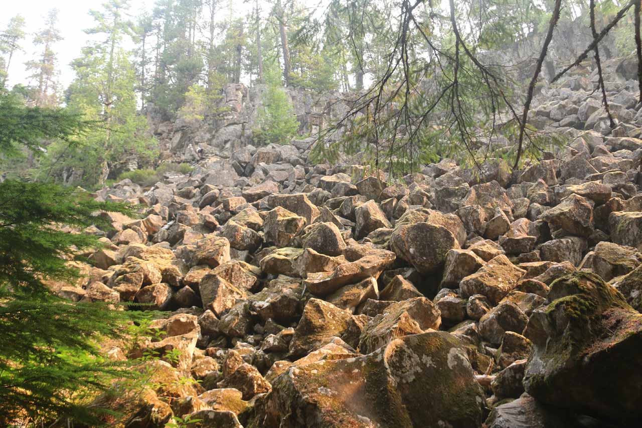
Evidence of the geologic forces that gave rise to this plunge waterfall was clearly evident during our visit.
We saw in the neighboring cliffs a hard basalt lava layer with its signature hexagonal columns.
This resulted from a combination of lava from an eruption 13,000 years ago then rapidly cooling from the presence of ice during the end of the last ice age.
Legend has it that the name of the falls came from a bet between two surveyors working for the Howe Sound and Northern Railway over who can most accurately guess the height of the waterfall.
The prize was a bottle of brandy (technically a shortened word for brandywine) while the loser got to name the waterfall.
To wrap up the story, after measuring the height of the falls with a chain, the losing surveyor named the falls after the prize and the rest was history.
By the way, their chain method was only possible because this was a plunge waterfall, which we explained in this write-up.
Experiencing Brandywine Falls

Luckily, the walk to get to the view you see pictured above was short (500m each way or 1km round trip), which would typically take under 30 minutes to finish.
Under normal circumstances, we would have savored the short hike and spent more time here or explored some of the other trails like the detour to Swim Lake.
However, the air quality was pretty bad during our August 2017 visit as it happened to have occurred during the British Columbia wildfires.
Such fires turned out to be the biggest in the province’s recorded history.

As you might notice in the photos on this page, the combination of morning sun and smoke created some unusual lighting on the falls and immediate surroundings.
Brandywine Falls Trail Description
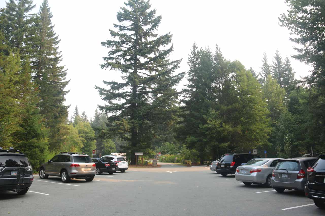
From the big parking area (see directions below), we followed a pretty obvious walking path past some picnic tables towards a covered bridge over Brandywine Creek.
Beyond the bridge, we then followed the trail in the downstream direction.
After walking the well-shaded path alongside a slope of big volcanic boulders, the trail then crossed a railroad.
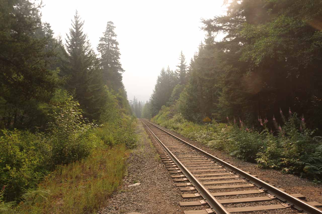
Not long after the railroad crossing, we then reached the obvious lookout deck for the Brandywine Falls.
The trail continued beyond this lookout deck past a more direct but partial view of the falls, but then it terminated at the Canyon Rim overlooking Daisy Lake and Cheakamus Valley.
Since the air was filled with smoke and haze, the otherwise nice view became more of an ominous and eerie scene where visibility was dramatically reduced.

Indeed, we couldn’t see much beyond the immediate mountains and the headwaters of the reservoir further downstream.
Authorities
Brandywine Falls resides in the Brandywine Falls Provincial Park near Whistler in the province of British Columbia, Canada. It is adminstered by BC Parks. For information or inquiries as well as current conditions, visit their website.

 and the Brandywine Falls Trail")


To reach Brandywine Falls from downtown Vancouver, we could head east on the Route 7A towards the Hwy 1 going north then west, or we could take Route 1A through Stanley Park and the Lion’s Gate Bridge eventually joining up with the Hwy 1 going west.
We’d then drive on Hwy 1 through West Vancouver for about 11km before taking the Hwy 99 (Sea to Sky Highway) towards Whistler.
After about 85km on Hwy 99 (44km north of Squamish), the signposted turnoff for the Brandywine Falls parking lot was on the right.
Overall, this drive took us about 90 minutes.
Going in the other direction, Brandywine Falls was about 17km south of Whistler on the Hwy 99 to the left.
For some context, Vancouver was about 64km (under an hour drive) south of Squamish, and 229km (2.5 hours drive not counting the border crossing delays) north of Seattle, Washington, USA.
Find A Place To Stay
180 degree sweep from the falls to the valley further downstream obscured by lots of smoke from a forest fire
Related Trip Reports
Related Top 10 Lists
Related Itineraries
Trip Planning Resources

Nearby Accommodations
Featured Images and Nearby Attractions
Visitor Comments:
Got something you'd like to share or say to keep the conversation going? Feel free to leave a comment below...No users have replied to the content on this page
Visitor Reviews of this Waterfall:
If you have a waterfall story or write-up that you'd like to share, feel free to click the button below and fill out the form...No users have submitted a write-up/review of this waterfall
Nearest Waterfalls
